Photographer and travel writer Cam Cope joined Epicurious travel on the Larapinta trail last year. He wrote an article for Royal Auto magazine about his experience, which was published in August 2016.
Words & images by Cam Cope
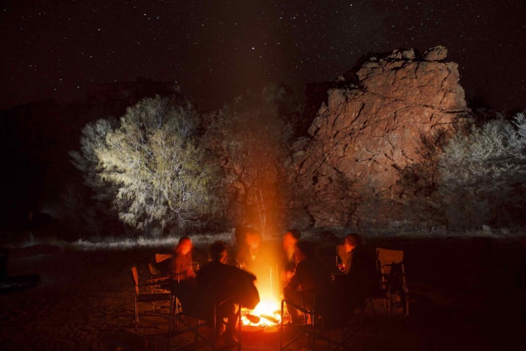
There aren’t too many wake-up calls that rely on charm to rouse you at 4am. But asleep in a double swag in the middle of the somewhere west of Alice Springs, I’m about to experience one of them.
Two silhouettes, one with a guitar and the other a didgeridoo, slowly walk through the pink dust and spinifex, playing an improvised slow-jam. The tune reverberates off a quartz rock-wall framing our campfire, and wood-smoke infused with coffee and bacon provides a second invitation out of bed.
Acclaimed desert
This is day five on Australia’s most rugged and acclaimed desert hiking route, the Larapinta Trail through Arrernte country in the Tjoritja/West MacDonnell National Park, and today we’re tackling Rwetyepme (Mt Sonder), the Northern Territory’s fourth highest peak.
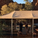
In full, the Larapinta is an 18-day, 223km slog. But a small group of us have booked with Epicurious Travel for a six-day curated sample of highlights. We reach our trailheads by bus, and each evening return to the same semi-permanent campsite, avoiding the need to arrange food-drops and lug camping gear.
From the moment we strike out on day 1, the myth of Australia’s centre being dead flat and barren is debunked. “I can’t get over how many plants there are,” says Charlie, a Hong-Kong based lawyer who leads from the front all week, despite two replacement metal hips he calls “the best parts of my body”.
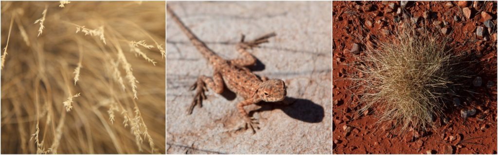
He’s talking about the acacia scrub in the gullies, the red gum river flats and the hilltop-encasing spinifex hummocks. But as we progress through a series of undulating foothills, an increasing variety of ecological minutiae also comes into focus. Barely a step can be made off trail without negotiating wildflowers, termite mounds and lizards.
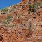
Big bio-region
The West Macs form a vast, rocky bio-region encompassing 23 broad-scale vegetation types. Many of these only occur in localised gorges and waterholes such as Inarlanga Pass, where we first see the West MacDonnell cycad, an isolated, palm-like relic and an emblem of central Australia.
On close inspection we observe thousands of tiny insects, thrips, feeding and pollinating from cycad to cycad as they make their way up boulders and cliffs. It’s an image easy to identify with as each day we trek higher and deeper into the ranges.
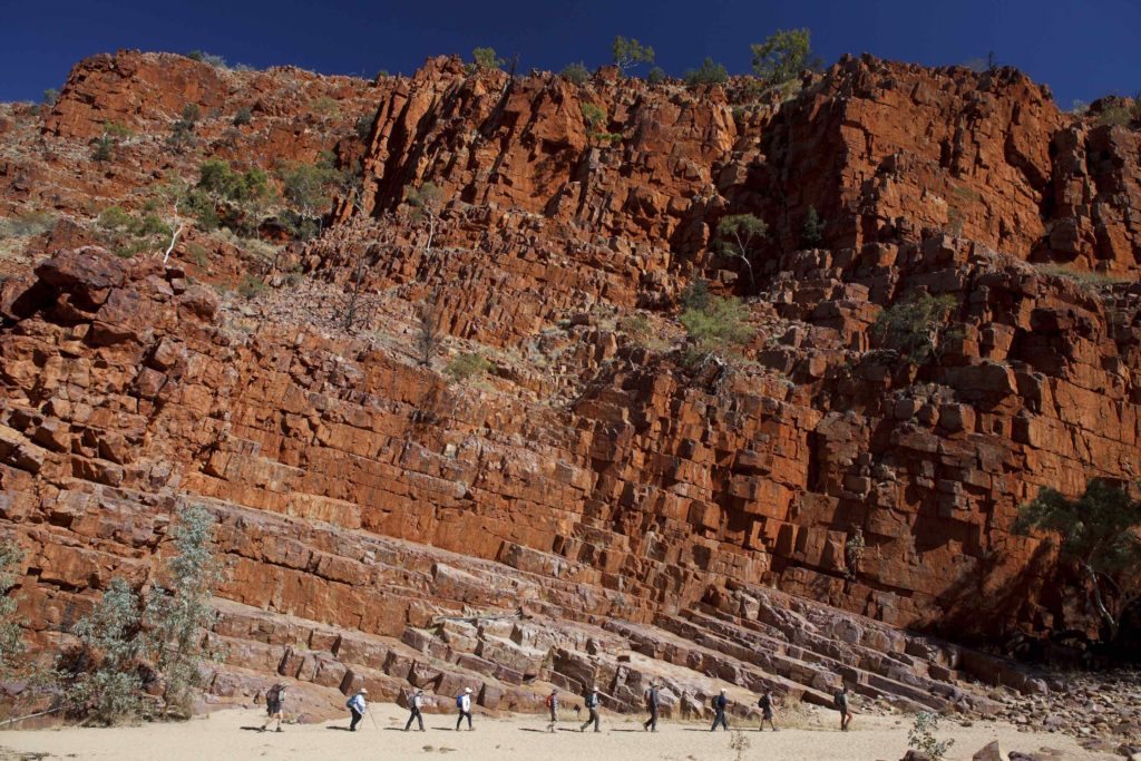
The group walking through Ormiston Gorge.
At the summit of Counts Point on day two, and the escarpment of Ormiston Pound on day three, the enormity of the landscape is unveiled. We’re hiking through the skeletal remains of once-towering, parallel ranges now greatly eroded and intersected by dry river valleys. On the horizon we can make out the meteorite crater Tnorala (Gosse Bluff) and the hulking Urlatherrke (Mount Zeil), the tallest mountain west of the Great Dividing Range.
At midday the sun flattens our daily panoramas into geological zebra crossings of pastel orange, pink, yellow, white and rust-coloured strata. It’s exactly the palette Albert Namatjira employed in his famous watercolours, and the same again of his Arrernte ancestors whose ochre pits we find on the trail.
- Read the full article To the Macs on the Royal Auto website.